

Section: International
Format: Special Report
Author: Sinisa Brkic (sb)
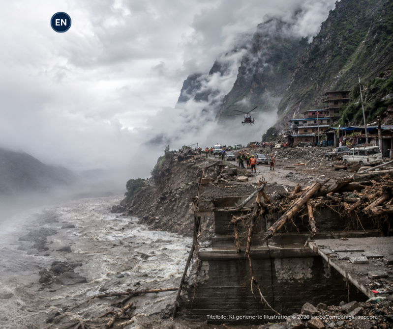
A catastrophic flash flood has struck the Himalayan border region between Nepal and Tibet, leaving at least 95 bodies recovered and hundreds of people missing as rescue operations continue across devastated mountain valleys. Foreign travellers, local residents and workers are among those unaccounted for, while roads, bridges, power facilities and a strategically important border corridor have suffered extensive damage. The disaster reaches far beyond the immediate humanitarian emergency. It has exposed the vulnerability of a region where tourism, cross border trade, hydropower and settlements are concentrated along narrow river valleys that can turn into destructive channels within minutes.
A catastrophe whose scale changed within hours
The first reports from northern Nepal described a destructive flood with a relatively limited number of confirmed deaths. That picture deteriorated rapidly as emergency teams reached communities farther downstream and bodies were recovered from areas covered by mud, rock and debris.
By Wednesday afternoon, at least 95 bodies had been recovered, while the number of people still missing remained in the hundreds. The figures are likely to remain fluid because communications have been disrupted, roads have been destroyed and several communities remain difficult to reach.
Different official tallies also reflect the speed and complexity of the emergency. Some counts distinguish between tourists, foreign nationals, local residents, police officers and workers, making direct comparisons difficult while rescue teams are still trying to determine who was in the affected area when the flood struck. For that reason, the confirmed death toll and the number of missing people should be treated as provisional. The scale of the devastation suggests that the human cost may become clearer only after inaccessible settlements and river corridors can be systematically searched.
The flood tore through a narrow Himalayan corridor
The disaster developed around the Lhende Khola river system near Nepal’s Rasuwa district, close to the border with China’s Tibet Autonomous Region. Water, sediment, ice, rock and debris surged downstream into the Bhote Koshi and toward the wider Trishuli river system.
Settlements including Timure and Syabrubesi were heavily affected. Homes were damaged or destroyed, vehicles were swept away and sections of transport infrastructure disappeared beneath mud and floodwater.
The geography of the region magnifies the danger. Roads, bridges, power plants, settlements and communications infrastructure are often squeezed into narrow valleys directly beside fast flowing rivers, leaving little physical distance between critical infrastructure and sudden natural hazards. Once a major surge enters such a valley, the consequences can spread quickly. A single blockage, slope collapse or flood wave can simultaneously cut transport links, isolate communities, damage electricity infrastructure and prevent rescue teams from reaching the area.
Hundreds of travellers remain unaccounted for
The missing persons operation has given the catastrophe a major international dimension. Hundreds of tourists and travellers were reported missing from the affected region, including citizens of India, Britain, the United States, Malaysia, South Africa, Australia and the Netherlands.
Many had been travelling through the Nepal and Tibet corridor on pilgrimage and tourism routes connected with Mount Kailash. The area is an important gateway for visitors moving between Nepal and western Tibet, particularly during the summer travel season.
British citizens are among those reported missing, while more than 100 Indian nationals were also listed among those unaccounted for in official information released during the day. South Korean workers connected with a hydropower project were separately reported missing. The international nature of the emergency adds another layer to an already difficult rescue operation. Governments must coordinate consular information, verify traveller lists and establish who may have left the region before the flood, who remains stranded and who is genuinely missing.
What caused the flood is still being investigated
The immediate physical mechanism is becoming clearer, but the precise chain of events has not yet been conclusively established. Preliminary satellite analysis indicates that a large mass of snow and rock descended into the Lhende Khola area and generated a debris laden flood that moved rapidly downstream.
A magnitude 4.4 earthquake was recorded in the wider region shortly before security footage captured the advancing torrent. That timing has led authorities and researchers to examine whether seismic activity destabilised a slope and triggered an ice and rock avalanche.
One scenario under investigation is that the avalanche temporarily blocked the river before accumulated water and debris broke through the obstruction. Such a sudden release could explain the destructive force and concentration of material visible farther downstream. The earthquake, however, cannot yet be described as the confirmed cause. A close sequence in time does not establish causation, and specialists continue to assess whether the slope failure resulted from seismic activity, glacial instability or a combination of factors.
A second flood remains a serious concern
The immediate danger may not have ended with the first surge. A blockage remained upstream in the river system during the rescue operation, raising concern that additional water could accumulate and later be released in another sudden flood.
Authorities therefore continued to warn people living near riverbanks and low lying areas to move toward safer ground. The risk is particularly serious because infrastructure already damaged by the initial flood would offer even less protection against a second wave.
Emergency crews are operating in terrain that remains unstable. High water, damaged slopes and disrupted access routes complicate both rescue work and efforts to assess conditions farther upstream. The possibility of another surge also has implications beyond northern Nepal. Rivers draining the Himalayan region continue toward the plains of India, prompting alerts and precautionary evacuations in downstream areas of Bihar and Uttar Pradesh.
Rescue teams are fighting the terrain
Nepal has mobilised police, military personnel and disaster response teams, but access remains one of the greatest obstacles. Helicopters were initially unable to land in some of the worst affected areas because of high water and unsafe conditions.
Destroyed roads and bridges have also made conventional ground access difficult. In mountain emergencies, the same infrastructure needed to evacuate survivors and transport rescue equipment can disappear within minutes. China has deployed hundreds of rescue personnel and more than 100 vehicles around the Gyirong border area. Search dogs, emergency equipment and specialist teams have been sent toward affected locations, while roads, communications and power links on the Tibetan side were also reported damaged.
India has offered humanitarian assistance and begun coordinating relief efforts with Nepal. South Korea has prepared an emergency response operation because its citizens are among workers reported missing in the disaster zone.
Gyirong is a strategic economic gateway
The damage to the Gyirong and Rasuwagadhi corridor turns the catastrophe into more than a local infrastructure emergency. The crossing is one of the most important overland trade connections between China and Nepal and carries commercial traffic, travellers and pilgrims across the Himalayan frontier. Roads, electricity and communications around the border area were disrupted by the flood and mudslide. The full extent of damage to customs facilities, bridges and access routes is still being assessed.
The economic significance is considerable. Gyirong had become one of the dominant gateways for bilateral land trade before a previous flood severely disrupted the route in 2025.
Trade through the port was worth approximately 4.25 billion yuan in 2024, representing close to 30 percent of total trade between China and Nepal. Another prolonged closure would therefore affect far more than local transport and could complicate imports, freight movements and commercial links between the two countries.
The corridor was only beginning to recover
The latest catastrophe has struck a route that had already suffered serious damage little more than a year earlier. A major flood in 2025 destroyed the Friendship Bridge connecting Nepal and China, killed nine people and left dozens missing.
Passenger and customs movements were disrupted for months while temporary infrastructure was installed. The crossing only returned to broader operation after reconstruction work restored the physical connection. That history changes the significance of the current disaster. What might otherwise be treated as an isolated infrastructure failure now raises questions about whether reconstruction standards and warning systems are keeping pace with the hazards affecting the Himalayan border region.
Repeated damage does not by itself prove that identical processes are occurring. It does, however, demonstrate that strategically important infrastructure remains concentrated in an environment where river behaviour, slope stability and glacial conditions can change with little warning.
Hydropower takes a major hit
Nepal’s electricity system has also suffered a significant blow. Preliminary information from the country’s electricity sector indicates that approximately 431 megawatts of generation were disconnected from the national grid after 11 hydropower projects and one solar facility were affected.
The damaged or disrupted facilities include major projects such as Rasuwagadhi, Chilime, Trishuli 3A, Sanjen and several smaller plants. Transmission infrastructure, including a major substation, was also affected.
The scale matters because hydropower is central to Nepal’s electricity system and increasingly important to its economic development. Damage to generation plants alone can reduce supply, but destruction of transmission lines, substations and access roads can extend outages and complicate repairs. Projects still under construction may face additional delays and costs. Engineers will have to determine whether dams, powerhouses, tunnels, access routes and river protection structures remain safe before normal operations can resume.
Energy dependence creates concentrated risk
Nepal has invested heavily in hydropower because its mountain rivers offer enormous generating potential. The same geography that creates that opportunity also concentrates infrastructure inside valleys exposed to floods, landslides and rapidly moving debris.
This creates a difficult strategic equation. Hydropower can strengthen energy security, support economic growth and provide export revenue, but the system becomes vulnerable when large amounts of generating capacity depend on infrastructure located along the same hazardous river corridors. The current disaster shows how quickly a natural event can become a national infrastructure problem. Damage to several projects at once can affect generation, transmission, investment schedules and confidence in future development.
Reconstruction will therefore require more than replacing damaged equipment. It will also require a reassessment of how power facilities, substations and access roads are protected against increasingly complex mountain hazards.
Climate change requires precision, not assumptions
The wider climate context is relevant, but it should not be confused with a definitive explanation for this particular flood. The Hindu Kush Himalayan region is warming rapidly, glaciers are losing mass and scientists have repeatedly warned that changes in ice, snow and precipitation can affect mountain slopes, glacial lakes and river systems.
These changes can increase the importance of compound hazards. Retreating glaciers may create or enlarge lakes, unstable ice and rock can contribute to slope failures and intense rainfall can produce destructive floods and landslides in steep terrain. That does not establish that human driven climate change directly caused the events of 26 August. Determining the specific cause requires evidence about the avalanche, possible river blockage, earthquake activity and hydrological conditions immediately before the flood.
The distinction is essential because different hazards require different warning systems. A glacial lake outburst, an earthquake induced avalanche, a rainfall triggered landslide and a temporary river blockage may produce similar devastation downstream, but they are not the same event.
Two major floods expose a deeper vulnerability
The wider Bhote Koshi corridor has now suffered two severe flood disasters in little more than a year. The 2025 event was linked to the drainage of a supraglacial lake in Tibet, while the latest disaster appears to involve an ice and rock avalanche and a sudden release of water and debris.
The mechanisms may differ, but the strategic vulnerability is similar. Communities, hydropower stations, roads, bridges and border infrastructure remain concentrated along a narrow river system where warnings may sometimes arrive only minutes before impact.
That raises difficult questions for Nepal and China. Monitoring glacial lakes alone may not be sufficient if ice and rock avalanches, slope failures and temporary river blockages can create equally destructive events. More comprehensive monitoring will require satellite observation, river sensors, slope surveillance and faster communication between authorities on both sides of the border. In areas where a flood can travel rapidly downstream, warning systems must operate faster than conventional administrative procedures.
The consequences will outlast the flood
The immediate priority remains the search for survivors and missing travellers, medical assistance for the injured and protection of downstream communities. Until the upstream obstruction has been fully assessed and river conditions stabilise, the emergency cannot be considered over.
The economic consequences will take much longer to measure. Damage to power generation, transport links, bridges and border infrastructure could affect Nepal well after the rescue operation ends, particularly if the Gyirong corridor remains disrupted. The disaster also presents a broader warning for development across the Himalayas. Critical infrastructure is expanding through landscapes where natural hazards are complex, interconnected and capable of overwhelming several systems at once.
The human toll will ultimately define the scale of the tragedy. The longer lasting question is whether the catastrophe changes how Nepal, China and the wider Himalayan region protect communities and infrastructure in mountain valleys where the next destructive surge may leave very little time to react.
Nepal-Tibet Flood: Hundreds Missing After Himalayan Disaster. At least 95 bodies have been recovered and hundreds remain missing after a catastrophic flash flood hit the Nepal-Tibet border, damaging villages, trade routes and hydropower infrastructure.
Kommentar hinzufügen
Kommentare